01
Start with the map
See current reported incidents across the United States, with markers scaled by acreage.
Explore reported US wildfires on a clear map, compare size and containment, and open the incident context you need without digging through a complex feed.
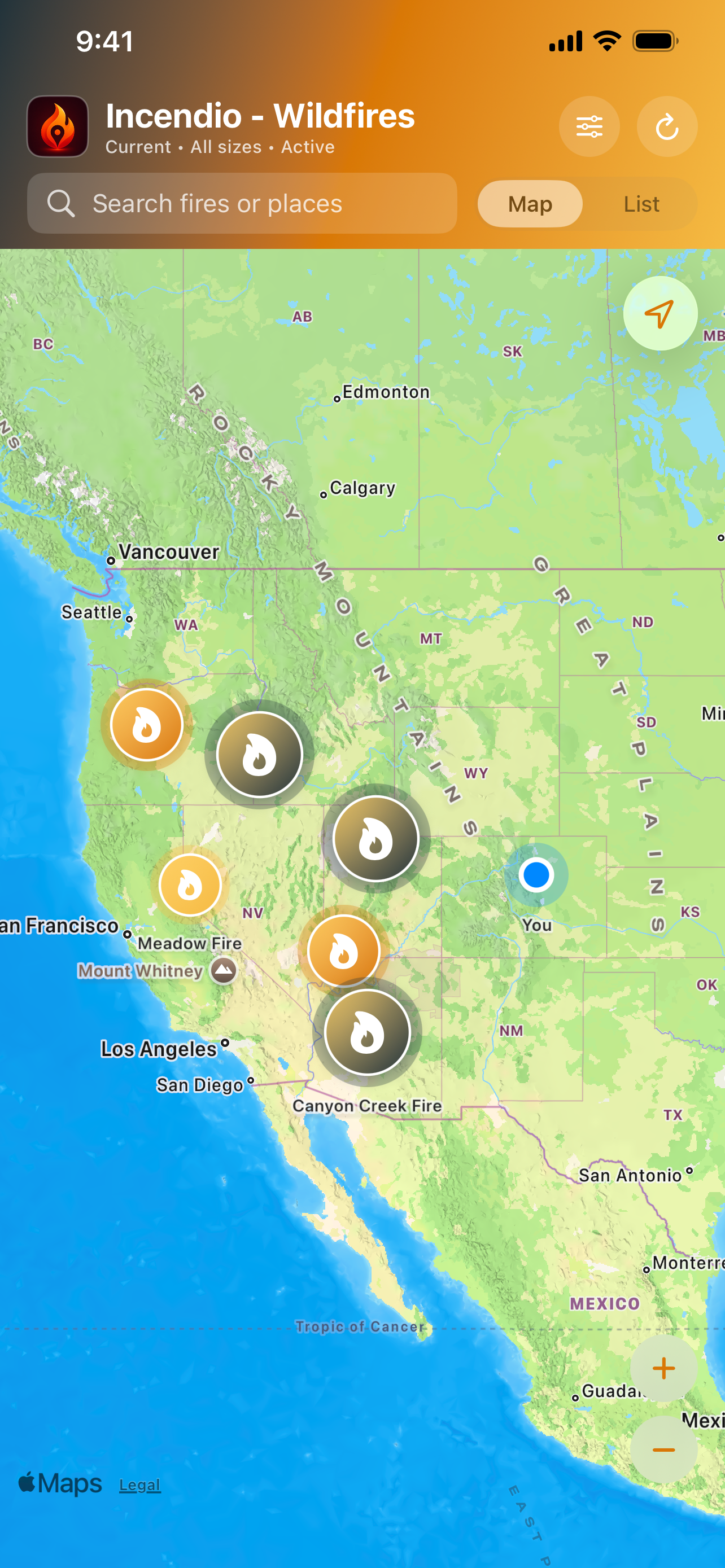
Incendio turns the public incident feed into a native map and list that are quick to scan and easy to filter.
See current reported incidents across the United States, with markers scaled by acreage.
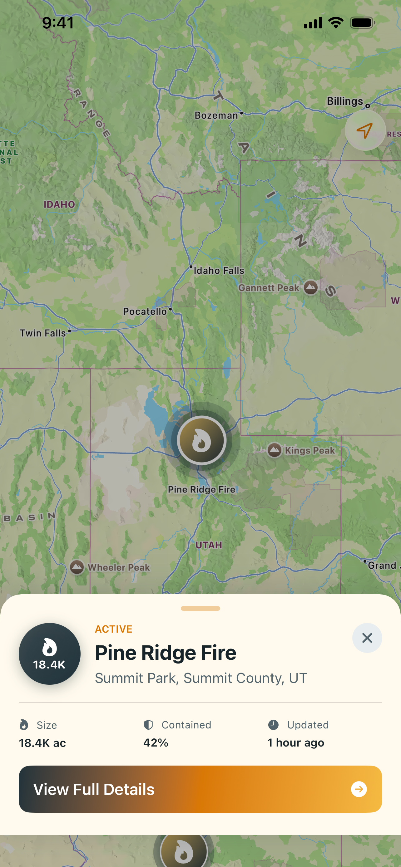
Focus by reported acreage and containment without losing sight of the active public feed.
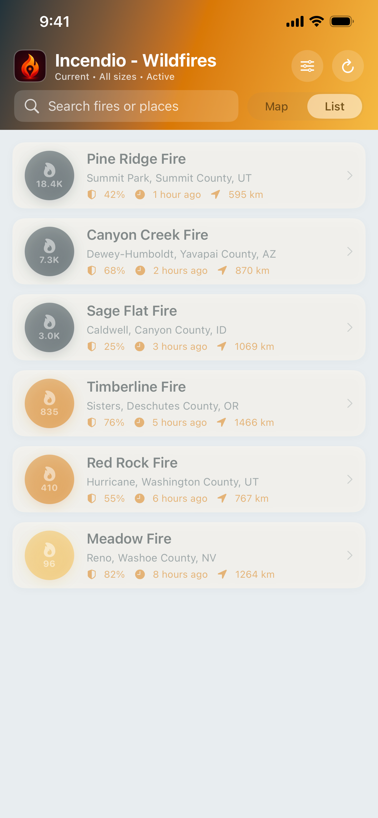
Search by incident name, place, acreage, or reported cause and move between map and list views.
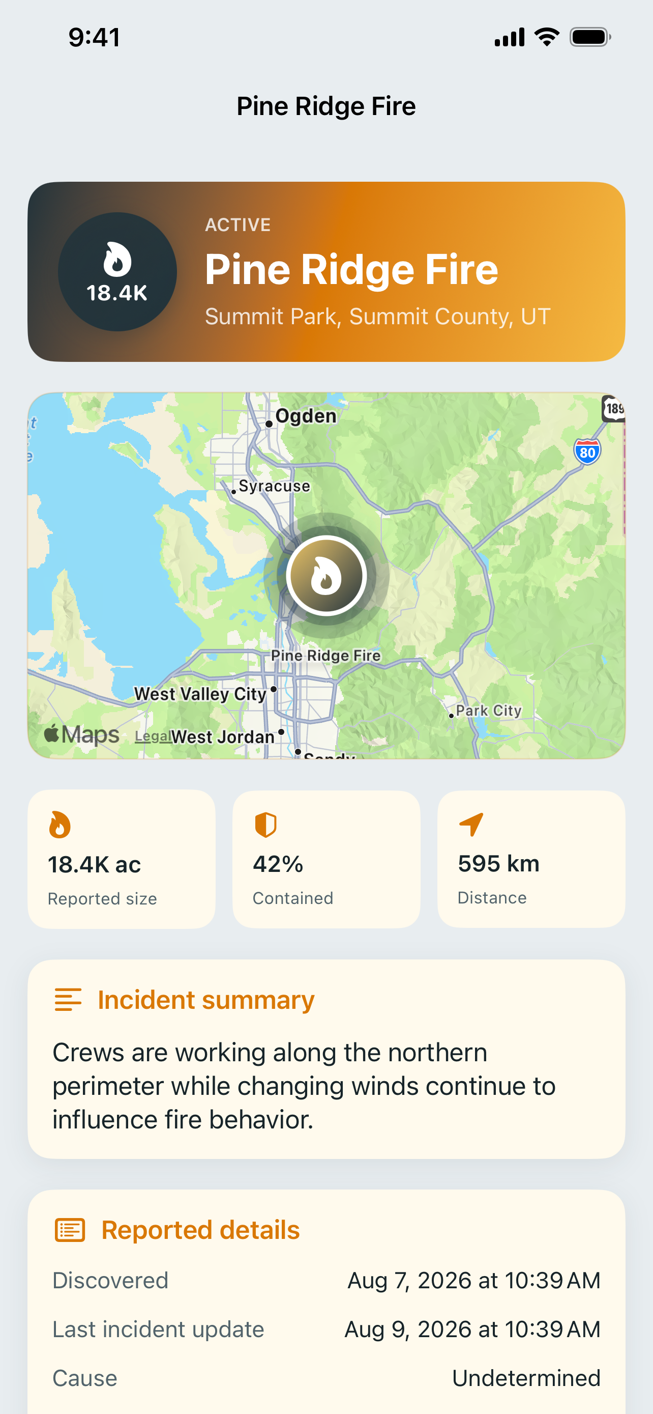
Review acreage, containment, cause, location, update time, and available incident-management details. For emergencies, always follow local officials.
Move from the current incident map to a sortable visual list and the complete reported details.
No account, no ads, and no in-app tracking. Optional location access is processed on your device to calculate distance and is not sent to Incendio servers.
Read the privacy policySame approach, different ground truth. Each one built on a public feed, with no account and no ads.

Live USGS events with magnitude, depth, and how far away they are from you.

Volcanic activity reported worldwide by NASA EONET, with original-source context.

Public incident context, one tap away.